
- English
- Spanish
- French
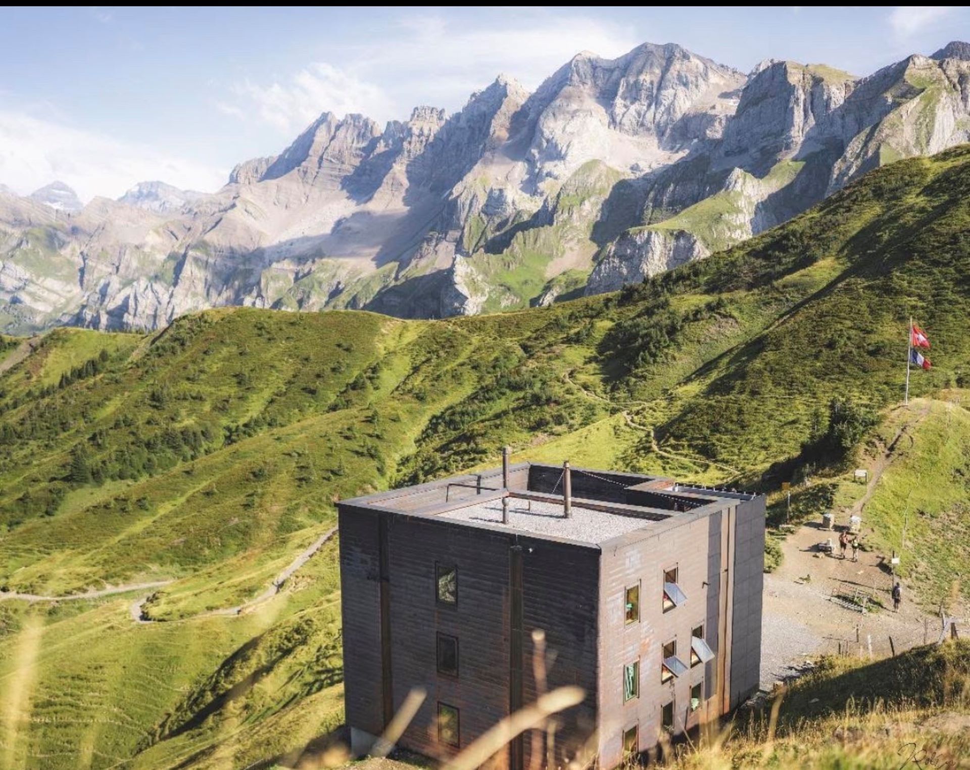
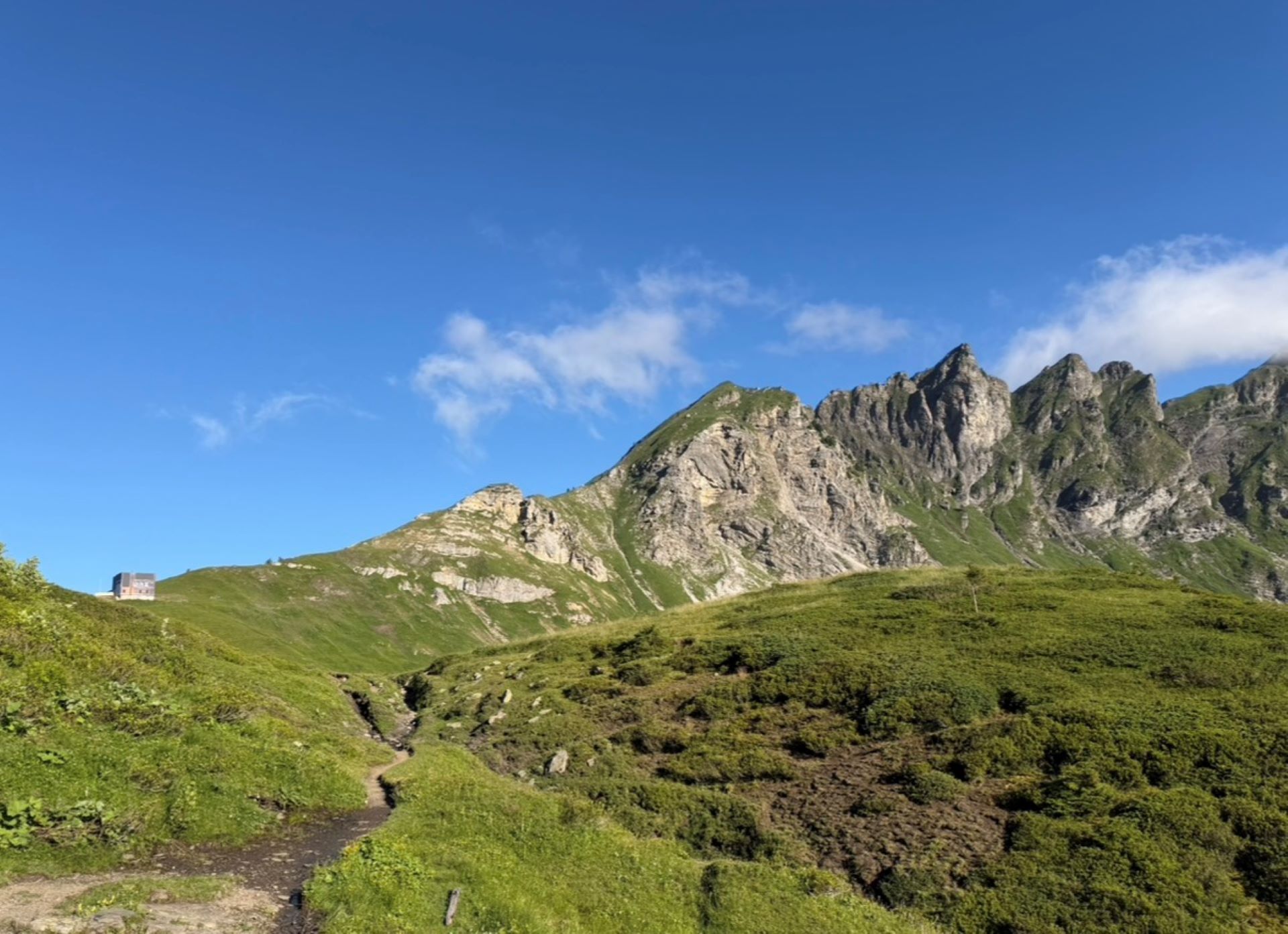
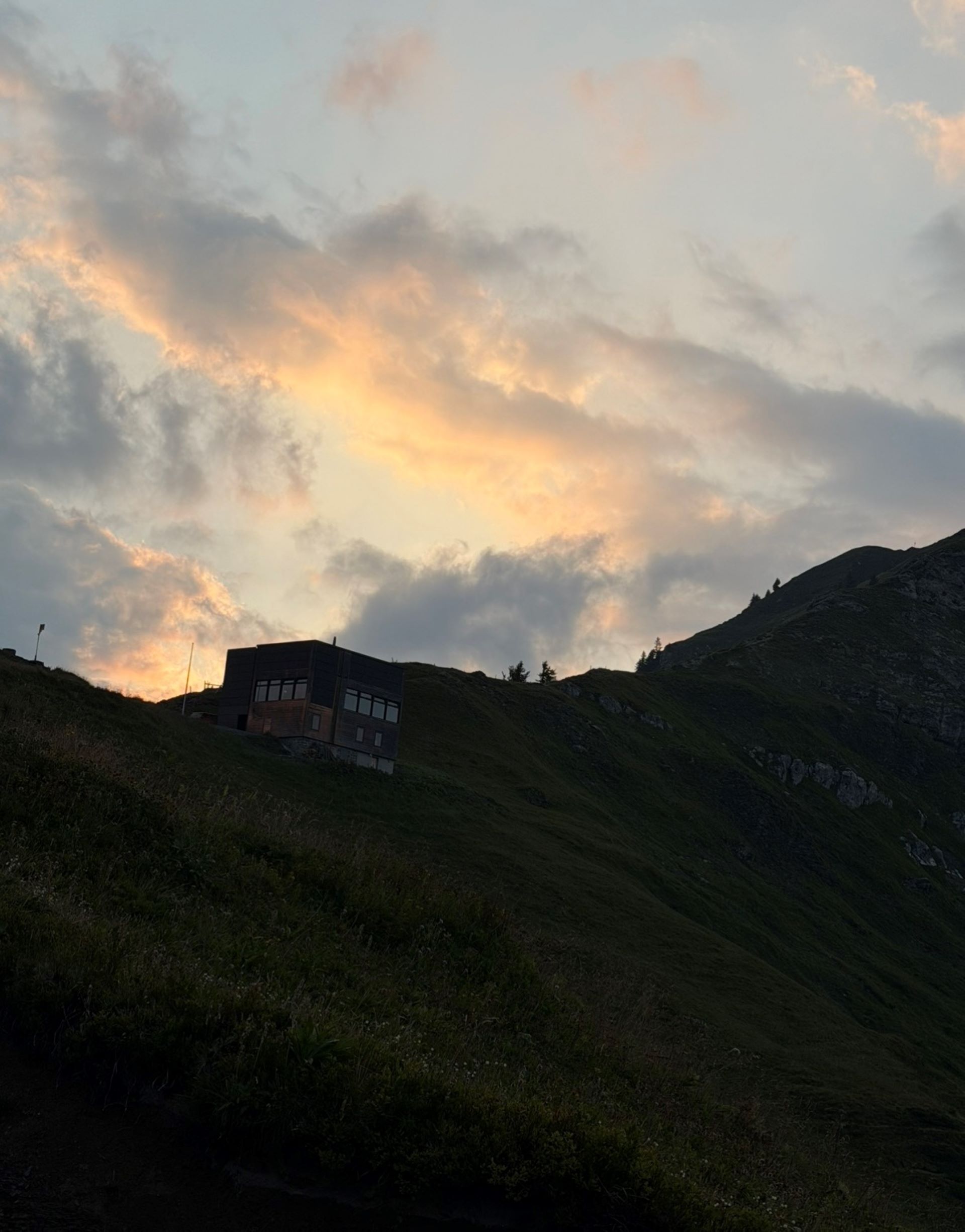
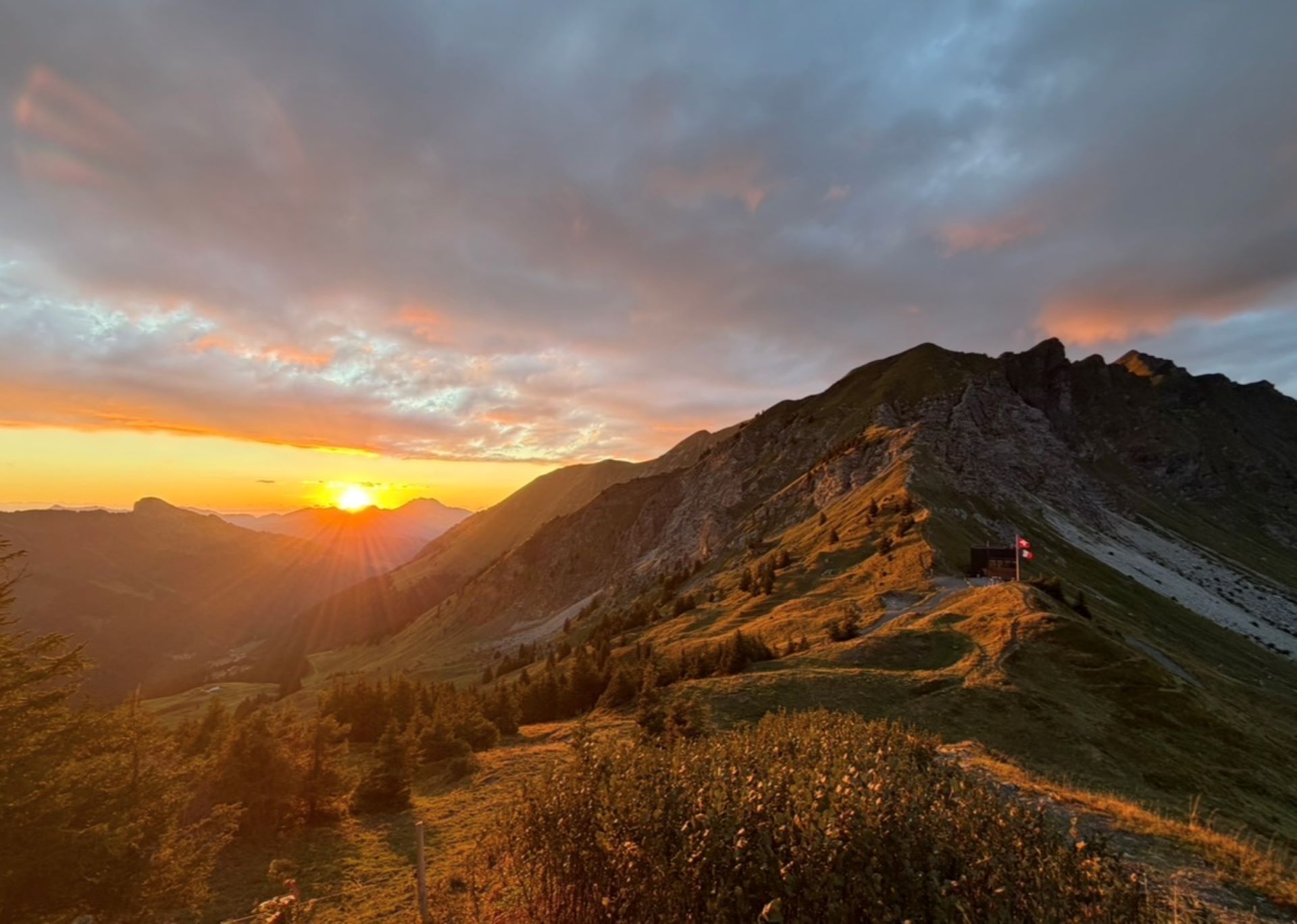
Accessible on foot from Champéry via the Berroi ridge or by bike via "La Poya" below Les Clavets. Also from Morzine via Lac des Mines d'Or and the chalets at La Chardonnière, or from Samoëns via the Col de la Golèse.
A mountain pass on the border between Valais and Savoie, this area experienced a small gold rush in the 19th century. Between 1850 and 1995, a mine tunnel was even opened on the Savoy side of the pass, but it seems the gold nuggets were nowhere to be found!
Legend has it, however, that two rich gold veins—one originating from the Dent de Bonavau and the other from the Fréterolle valley—meet right in the middle of the pass…
Opening hours
From 29/05 to 24/10/2027 daily.
Accessibility
- Not accessible in a wheelchair
Prestations
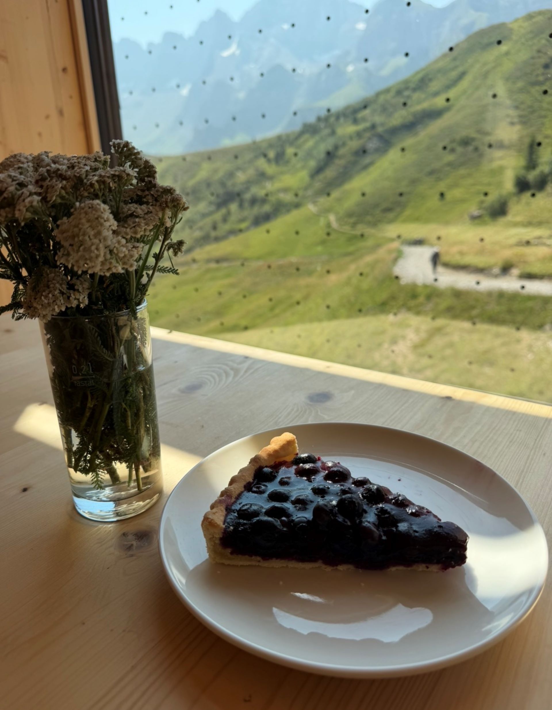
Cheeses
Payment methods
- Credit transfer
- Bank/credit card
- Cash
- Twint
Location
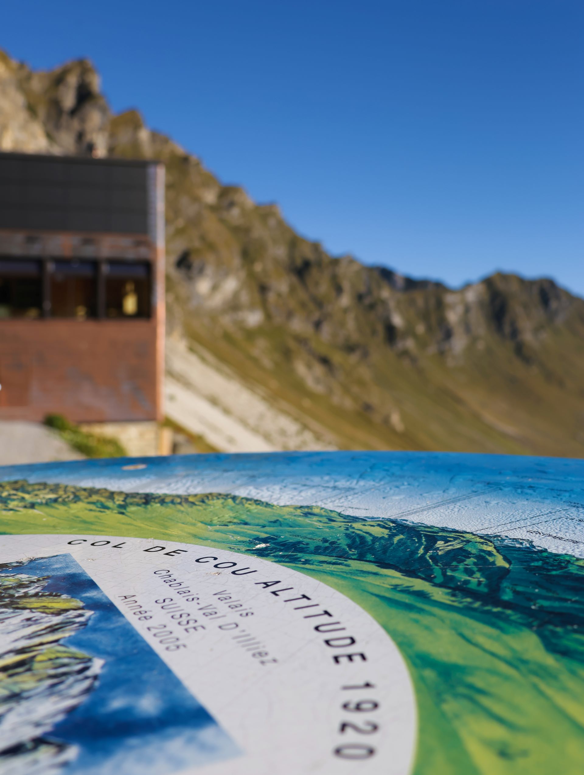
The Col de Cou is located at an elevation of 1,920 meters on the French-Swiss border, at the crossroads between the towns of Morzine,
Samoëns, and Champéry.
It lies along the GR5, the Via Alpina, and the Tour des Dents
Blanches.