- German
- English
- French
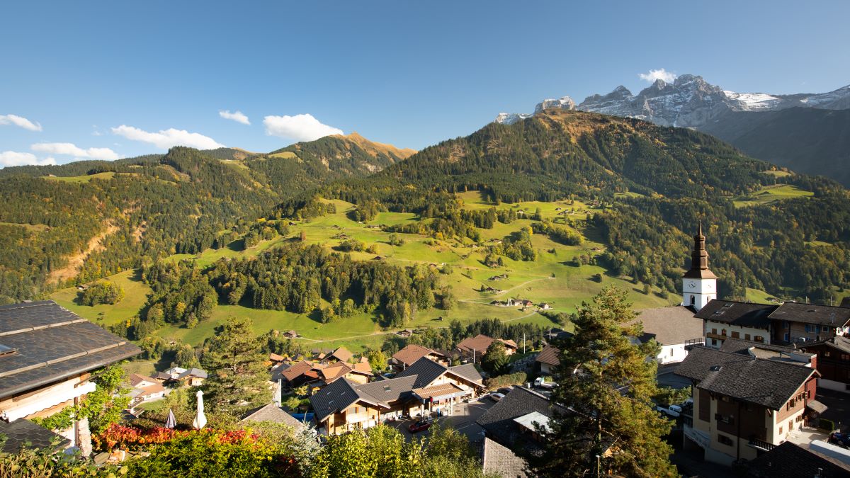
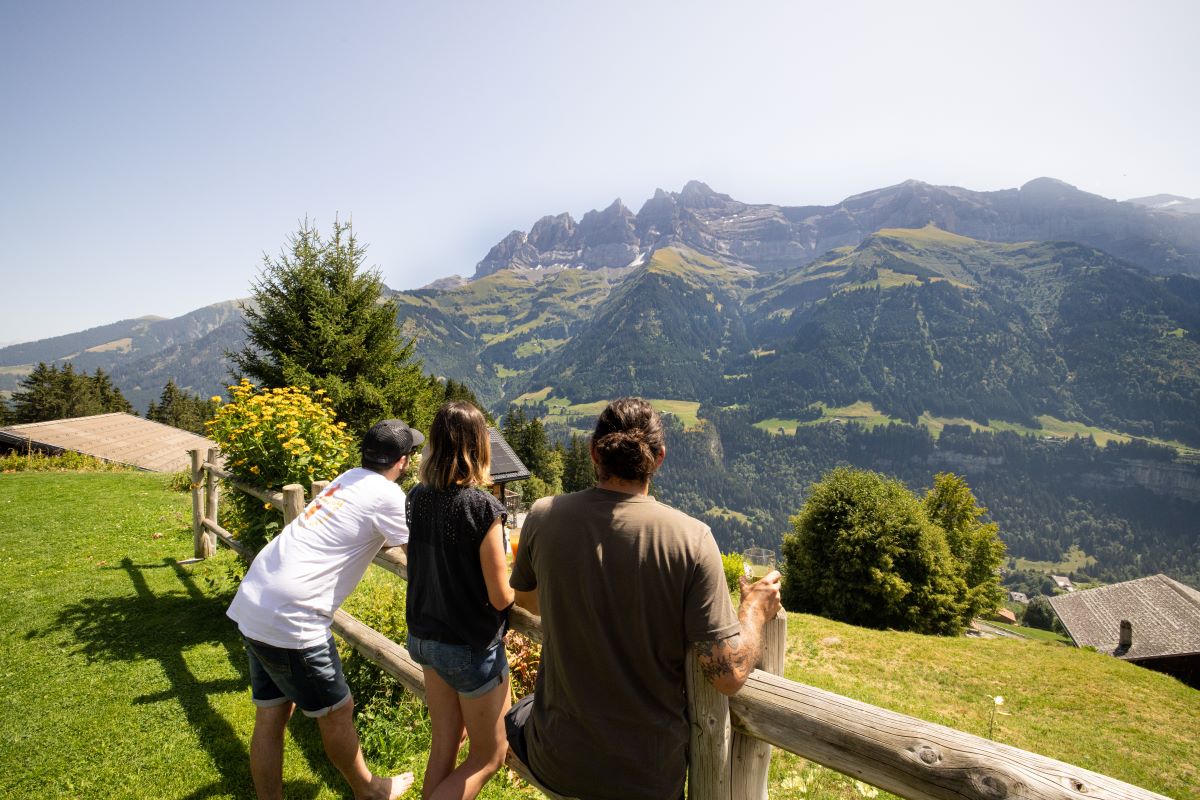
A loop between Val-d'Illiez and the heights of Champéry, with a stop to enjoy local flavors and stunning views of the Dents du Midi.
Val-d’Illiez – Les Grantys – Sur Cou – Les Arayes – En Charnet – Val-d’Illiez
From the village square above the church of Val-d’Illiez, walk up the Route de Proz (parking near the school) to the end of the Route de Martenoy. At the last farm, take the path that goes along the edge of the forest, cross the main Route des Crosets, and follow the road towards Grantys for 1 km, enjoying the view of the Dents du Midi. At the first hairpin turn, the trail climbs through the pasture to rejoin the drivable road higher up.
At an altitude of 1360 m, take the path before the farm to enter the forest and cross the Chavalet river via the Pont du Poijeur, then continue to the Cantine sur Coux alpine hut for a break with a view of the Dents du Midi.
Set off again below the terrace, cross the road, and descend along the forest trail through Les Arayes. Before the Chavalet cross, take the path to the left to cross the river again and climb via Miévy to the junction with the Grantys road. From there, immediately descend via the trail along the hedge of trees towards En Charnet (underpass of the main road), and return to the village center via the Route de Play and Route de Fellina, arriving below the church via the Chemin de la Creuse.
This loop is half on paved and drivable roads and half on hiking trails.