- German
- English
- French
This expert route is a full-spectrum sample of the extraordinary alpine landscapes between Switzerland and France.
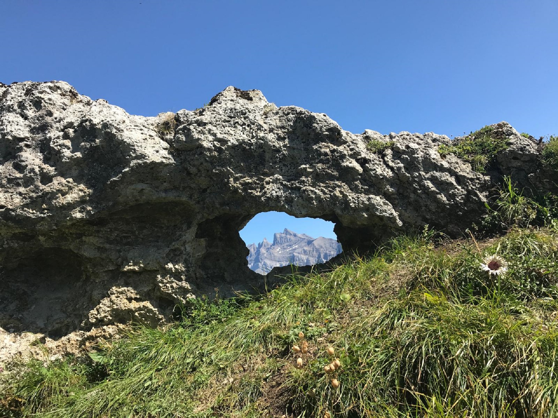
From peaceful forests and rushing rivers to bucolic pastures and breathtaking panoramas — taking in the spectacular scree of the Roc Coupé and the famous Chemin des Contrebandiers — this hike reveals the mountain in all its diversity.
Set off from the Champéry cable car and follow the road towards Grand-Paradis. After 500 m, take the footpath on the right, passing under the road towards the Accrobranche, then continue towards La Lui. Cross the Saufla, then bear left towards the Roc Coupé. At around 1,478 m, re-cross the Saufla on the Passerelle Belle-Étoile and continue to the Refuge de Bonaveau.
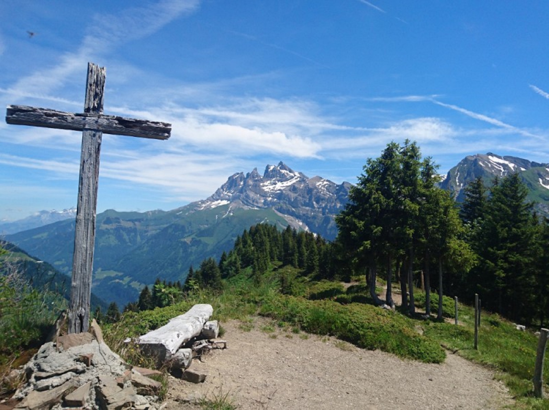
From the refuge at 1,550 m, take the path towards Barme in the direction of Sous la Dent (1,626 m). Descend, then bear right to cross the Barme plateau and join the Chemin des Contrebandiers, which follows the Berroi Ridge to the Col de Cou (1,921 m). At the old customs post, take the path that climbs behind the building and follow the Fornets Ridge. Cross the Pointe de Fornet at 2,298 m, then continue through the Pas de Bassachaux.
At the Pas de Chavanette, descend below the chairlift line. At the junction, turn left onto the milk road, passing under the Pauvre Conche chairlift line. At 1,827 m, bear right; at 1,800 m, take the path descending left towards Les Crosets. The finish is at an altitude of 1,679 m. To return to Champéry, take the Les Crosets chairlift followed by the Champéry – Croix de Culet cable car.
Turn-by-turn direction
Unmarked trailBest time of year
Depending on weather conditions and lift openings and times. Time depending on pace.
Accessibility
Prestations
- Pets welcome