Closed
Moderate
366m
366m
We speak
- French
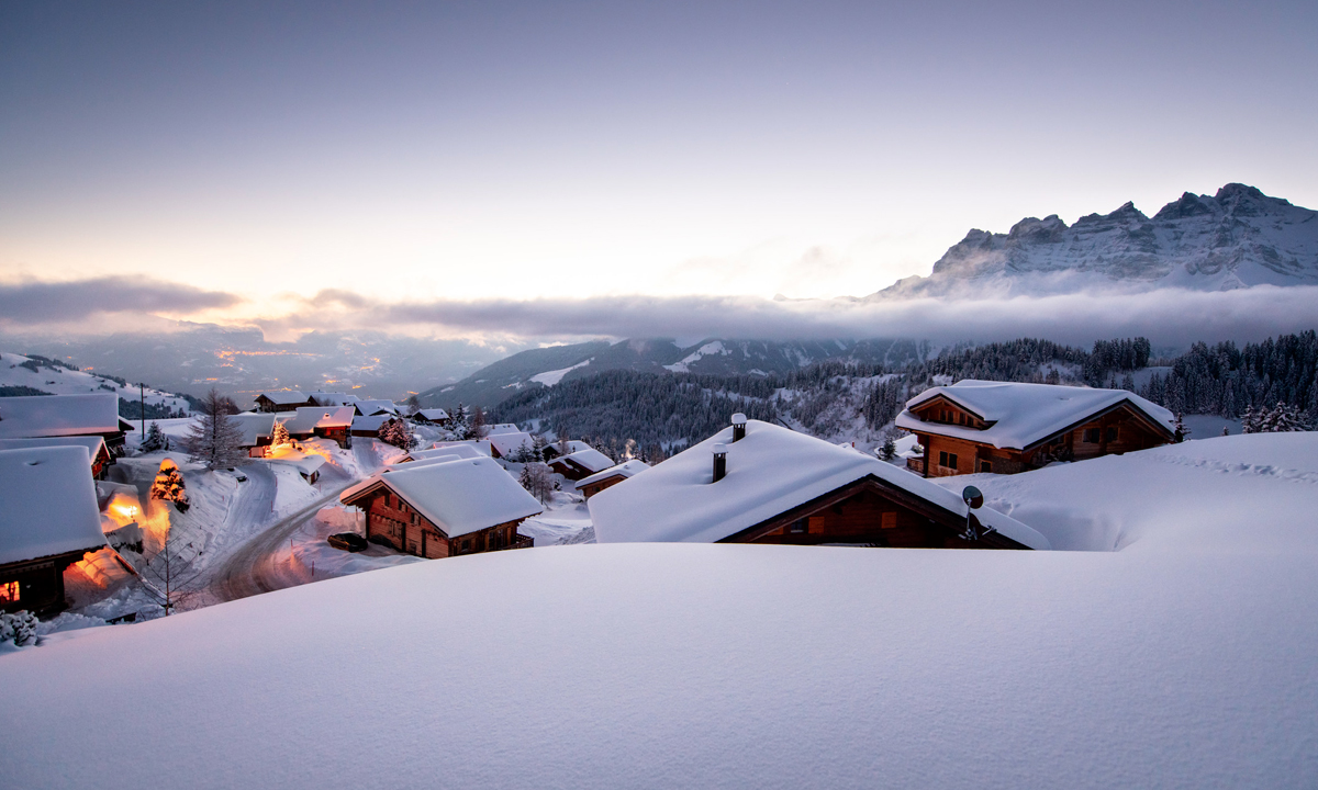
This snowshoe hike offers panoramic views over the Dents du Midi and the Vaud Alps and the chance to stop at a quaint alpine restaurant.
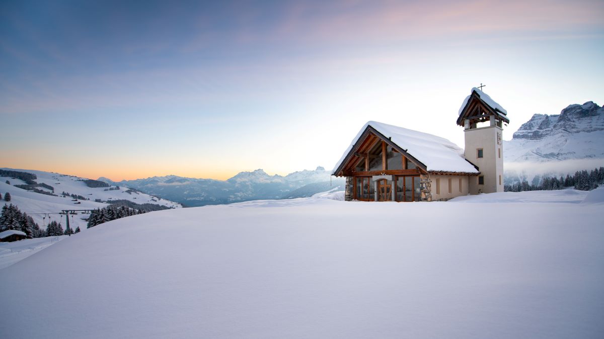
This itinerary begins at 1,600 metres altitude near the quaint village of Champoussin, at one of the high points in the Illiez Valley. It offers unparalleled views of the Dents du Midi mountain range, the Vaud Alps and the Rhône plain as it meanders through snowy pastures and tranquil forests. Near the end of the route, you’ll see the picturesque Champoussin Chapel and will have the opportunity to stop for a delicious meal of local specialties on a sunny restaurant terrace.
Turn-by-turn direction
Start from the large car park at the entrance to Champoussin (to your right when you arrive), following the pink #1 snowshoe signs (SwissMobile #401).Cross the bridge and follow the river to the right. Walk along the hillside, taking in the spectacular views along the way. At the place called Sur Crête, continue on and up to the right, following a relatively steep path leading to the Frâchette shelter, where you'll find a WC and one of the best viewpoints of our iconic mountain range.
Leaving Frâchette, walk along the ridge to the right towards the picturesquely named Gouille aux Sangliers, or Boars’ Pond. Turn right and descend towards Champoussin, crossing a second wooden bridge and a ski slope. From here, you will head up the slope to the Chez Gaby restaurant. Return to the car park by skirting the edge of the Sepaya ski slope.
Best time of year
Jan.
Feb.
Mar.
Apr.
May.
Jun.
Jul.
Aug.
Sep.
Oct.
Nov.
Dec.
Accessibility
Prestations
- Parking nearby
- Picnic area
- Pets welcome
- Coach access
Cheeses
Prices
Free access.
Useful links
Location
Arrêt bus "Champoussin-Télésiège"
Parking raquettes à droite (à l'opposé de la caisse du téléski des Champeys)CH - 1873ChampoussinSuisse
Parking raquettes à droite (à l'opposé de la caisse du téléski des Champeys)CH - 1873ChampoussinSuisse

