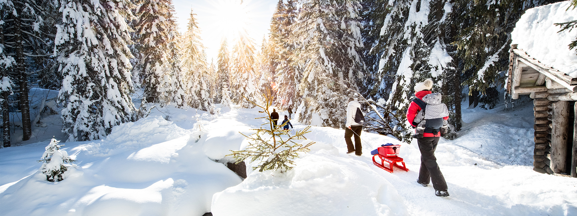
Discover our walking routes accessible in winter with a minimum of equipment. Good shoes, warm clothing and walking sticks are sufficient to venture out on our walks.
A few safety tips
• Please follow the marked hiking trails in pink and avoid using the paths indicated only by yellow signs, which are intended for summer itineraries and are not necessarily passable in winter.
• Consult the weather forecast and webcams before your outing.
• If you are going alone, inform those around you and make sure you have a mobile phone in case of a problem.
12
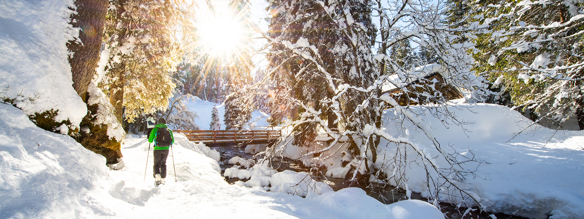
Trails
Walk to the neighboring village of Val d’Illiez and return along the banks of the rushing Vièze River in the pastoral valley just below Champéry.
Champéry – Chavalet – La Cour – Champéry
ModerateChampéry
02h006.6 km230 m230 m
Feast your eyes on the magnificent Dents du Midi mountains and sample one of Switzerland’s most famous specialties: Rösti!
Chemin de l’Aiguille
ModerateChampoussin
02h456.9 km260 m260 m
The name of this gentle, picturesque path translates to the ‘Baby Buggy Trail’.
Chemin des Poussettes
EasyChampéry
01h003.8 km120 m120 m
Set off for a tour with a cultural twist, up the valley towards Val-d’Illiez, for a quiet and relaxing walk, ideal for a family outing.
Green Culture Trail : Troistorrents – Pont de Fayot – Val-d’Illiez (Bains) – Le Pas – Troistorrents
EasyTroistorrents
01h506.8 km200 m200 m
Easy walk to Lac de Morgins, listed in the federal inventory of amphibian breeding sites.
Lake Morgins
EasyMorgins
00h302.2 km70 m30 m
Champarin offers magnificent views of the Dents du Midi and the Vaud Alps.
Morgins – Champarin
EasyMorgins
01h455.7 km200 m200 m
The alpine road takes you to Chalet Chanso where you can enjoy a gourmet break with a beautiful view of the Dents du Midi and the Vaud Alps.
Morgins – Chanso
ModerateMorgins
02h458.5 km360 m360 m
A magical winter setting accompanies you on this family walk in the Vallon de They.
Morgins – Vallon de They
EasyMorgins
01h454.7 km110 m110 m
From Morgins Lake, the Têtes road climbs to a bird’s-eye view of Morgins from the Refuge du Corbeau.
Morgins Lac – Refuge du Corbeau
EasyMorgins
02h307.6 km280 m280 m
An easy walk on paved roads, this itinerary offers a glimpse of Troistorrents’ cultural heritage and a panoramic view of the Rhone Plain and surrounding mountains.
Orange Cultural Trail : Troistorrents – Croix du Nant – Chemex – Propéraz – Troistorrents
EasyTroistorrents
01h304.7 km160 m160 m
The Cantine Sur Cou, perched on a grassy outcropping just above the village, offers panoramic views of the Dents du Midi and the Dents Blanches.
Sur Cou – Ayerne – Sur Cou
EasyChampéry
00h301.5 km50 m50 m
Enjoy a bird’s-eye panorama of the Dents du Midi from a stunning viewpoint at the quaint Cantine Sur Coux restaurant.
Sur Cou par Rumières
EasyChampéry
02h307.6 km340 m340 m